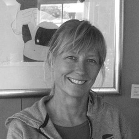
Suzanne Shull
GIS Specialist-Padilla Bay Reserve

Suzanne Shull is the GIS Specialist for Padilla Bay National Estuarine Research Reserve. She has a Master of Science degree in Environmental Science from Western Washington University and a Bachelor of Science in Urban Studies and Planning from the University of California San Diego.
Suzanne has been using GIS and remote sensing to map and track changes in the intertidal habitats of Padilla Bay since 1997. Other projects include mapping historical extent and distribution of tidal wetlands, monitoring sediment elevations and implementing a drone program for the reserve. Suzanne works with the Northwest Straits Commission and MRCs to assist with MRC geospatial data processing, analysis and visualization products, to process the kelp kayak survey data and maintain the NWStraits mapping application SoundIQ.